We’re still putting the finishing touches on our new site. Thank you for your patience while we build something worth the wait.
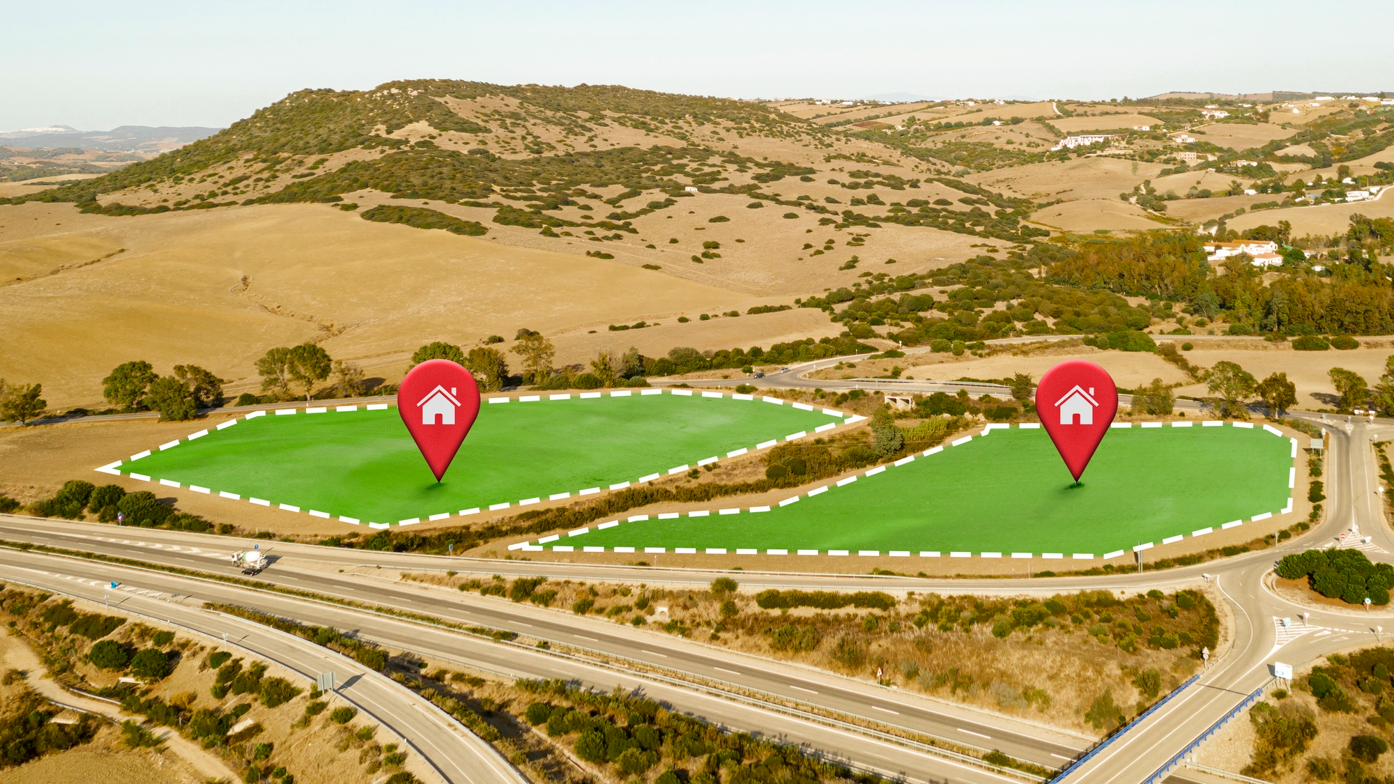
Land Asset Boundaries Estidamah
Formalising state-owned land records across the Kingdom to enable investment, development, and long-term value creation.
Alyusr validates cadastral data to activate state-owned land assets for confident development.
This engagement enabled the strategic activation of state-owned land assets by formalising land records, defining legally recognised boundaries, and issuing approved cadastral decisions. The work ensured clear, enforceable ownership, eliminated boundary overlaps, and protected assets from third-party claims.
The scope included comprehensive validation of cadastral and ownership data, on-site boundary verification, and resolution of conflicts — leading to accurate and officially endorsed outcomes that accelerate asset readiness and support informed real estate decisions.
Legally recognised land boundaries established across a million-square-metre portfolio.
Effective stakeholder coordination reduced legal and ownership risk, enhanced land data reliability, and accelerated asset readiness for development and investment.
You cannot build on land you cannot prove you own. Our job was to make every boundary line defensible, every ownership record clean, and every asset ready to transact.